Map "Mt Nebo – Mt Glorious" (2.04) for BeamNG.drive (0.40.x)
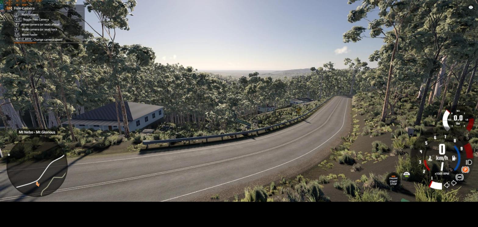
Map Mt Nebo – Mt Glorious (v2.04) for BeamNG.drive (0.40.x)
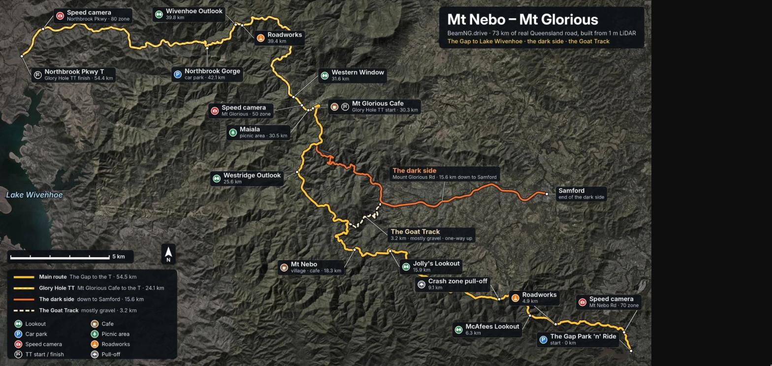
About 73 km of real Queensland (Australia) mountain roads, recreated from 1 m LiDAR dаta: from The Gap up to Mt Nebo and Mt Glorious and down to Lake Wivenhoe, plus the dark side down to Samford and the gravel Goat Track.
Features:
- 70+ km of two-lane mountain road with guardrails, road signs and speed limits
- Main route The Gap → Northbrook Pkwy (54.5 km), the dark side (15.6 km), the Goat Track (3.2 km, mostly gravel)
- 16 bridges over gullies and Northbrook creek
- 4 time trials: Glory Hole TT, Nebo Climb, Dark Side Climb, Goat Track Hillclimb
- Bus route 385 The Gap ⇄ Mt Nebo with a scored mission and leaderboard
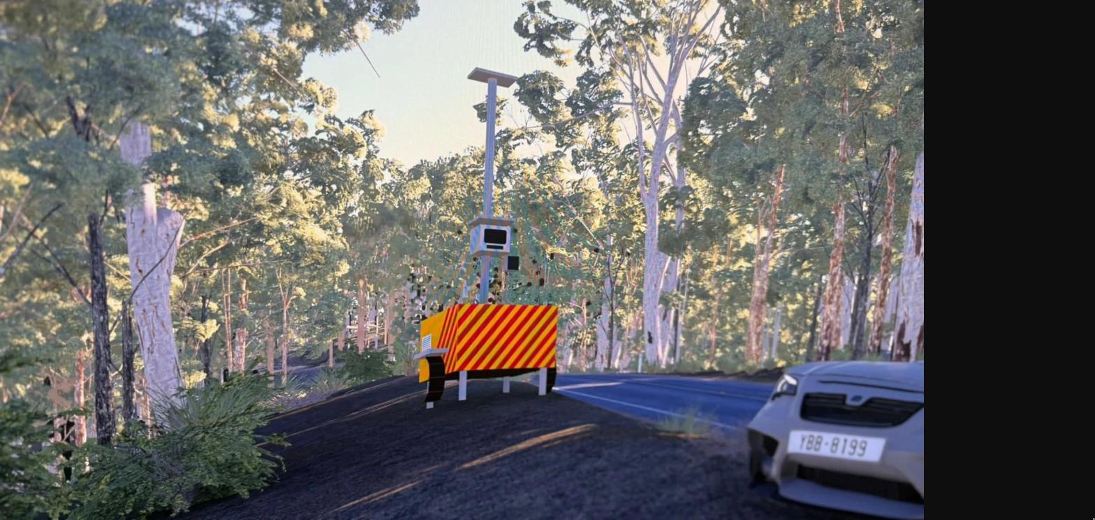
- Speed cameras and roadworks zones
- 18 spawn points
- Lookouts with parking for car meets: Wivenhoe Outlook, Western Window, Westridge Outlook, Jolly's Lookout, McAfees Lookout
- Mt Nebo and Mt Glorious villages with cafes and picnic areas
Author: lucienstruckingandhaulage
The minimum length of a comment is 10 characters. Comments are moderated
